Engineered for Challenging Environments

Oscar GNSS Receiver

Full Satellite Tracking
Multipath Mitigation
Fixed in Seconds
Reliable RTK Performance

Calibration-free Tilt Compensation

Tested accuracy of 2cm when tilted at 60° (2m or 1.8m pole).

Full Satellite Tracking

Our self-developed GNSS board, with 576 channels, supports full, multi-constellation tracking.

Multipath Mitigation

Advanced GNSS high-precision baseband IC and RTK algorithms enable Oscar not only to track more satellites, but also to effectively filter out signals with serious multipath error and low signal-to-noise ratios.

Fixed in Seconds

Integer ambiguities fix rapidly once satellites are acquired and corrections are received. Fixed solutions can be obtained in 3-5s in open sky, and in 10-30s under canopy or near buildings.

Reliable RTK Performance

According to a large number of test cases and results, Oscar can achieve a RMS of about 2cm in various obstructed environments, which is fully competent for various measurement scenarios.

IMU-GNSS Fusion

Oscar works immediately without calibration and is immune to magnetic interference.

Vibration ResistanceINS Performance

Efficiency increased by 30% when doing continuous survey with Tersus Rod-Tip-Roller.

Centimeter Precision

Tested accuracy of 2cm when tilted at 60° (2m or 1.8m pole).

Survey withoutTilt Angle Limitation

Tested RMS error of 3.7cm at a tilt angle of 110°tilt angle.

Let’s Get Right to the Point

Smart Battery

Large Internal Storage

Connectivity & Transmission

Compatibility

Robust Design

Tersus Caster Service

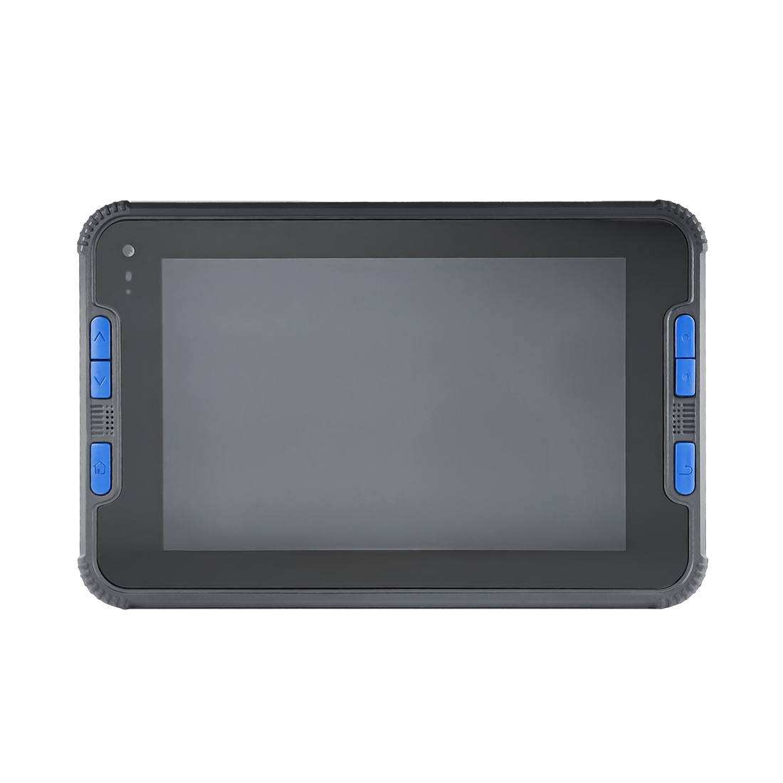
The ruggedized Oscar receiver comes with a 4cm (1.54”) interactive screen (Ultimate and Advanced versions)

With an activated Nano SIM card inserted, Oscar can receive corrections via 4G cellular networks. You can also connect via WiFi networks.

Oscar GNSS Receiver has three versions: Ultimate, Advanced and Basic (from right toleft), provides selectivity for the requirement of different users

Tersus Geo Office 2(TGO2) Post Processing Software

Tersus Geo Office 2 is a desktop data processing software based on Windows OS, designed by Tersus GNSS Inc, and all rights reserved.

TGO2 has various functions, covering multiple business modules for professional users, supporting GNSS post-processing and network adjustment, road design and inspection, RTK project processing, and point cloud data processing.

CAD Stakeout

Supports direct import of various types of complex DWG and DXF files for staking of selected points and lines, as well asother more functions such as layer management, block operation, etc.

Road Stakeout

Supports importing, editing and previewing of roads in road management, as well as staking of road centerlines, cross sections and elevations in road stakeout.

AR view in Stakeout

With the excellent tilt compensation of LUKA
GNSS receivers, combined with the realistic view, the screen arrow will direct you to the point (without needing to orient to North first) to speed up the field work.

Graphic Measurement

Visualization of graphic measurements, Nuwa will automatically connects the measurement points into the selected graphic, also switch between point survey and line survey based on the type of code.

Cloud

Project data backup and rapid ollaboration,supports one-click synchronization of cloud and local data, also supports to export data to cloud, download and open on the desktop.

Dean D. US

Related Products

Accessories
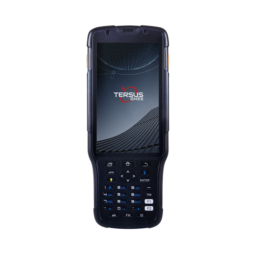
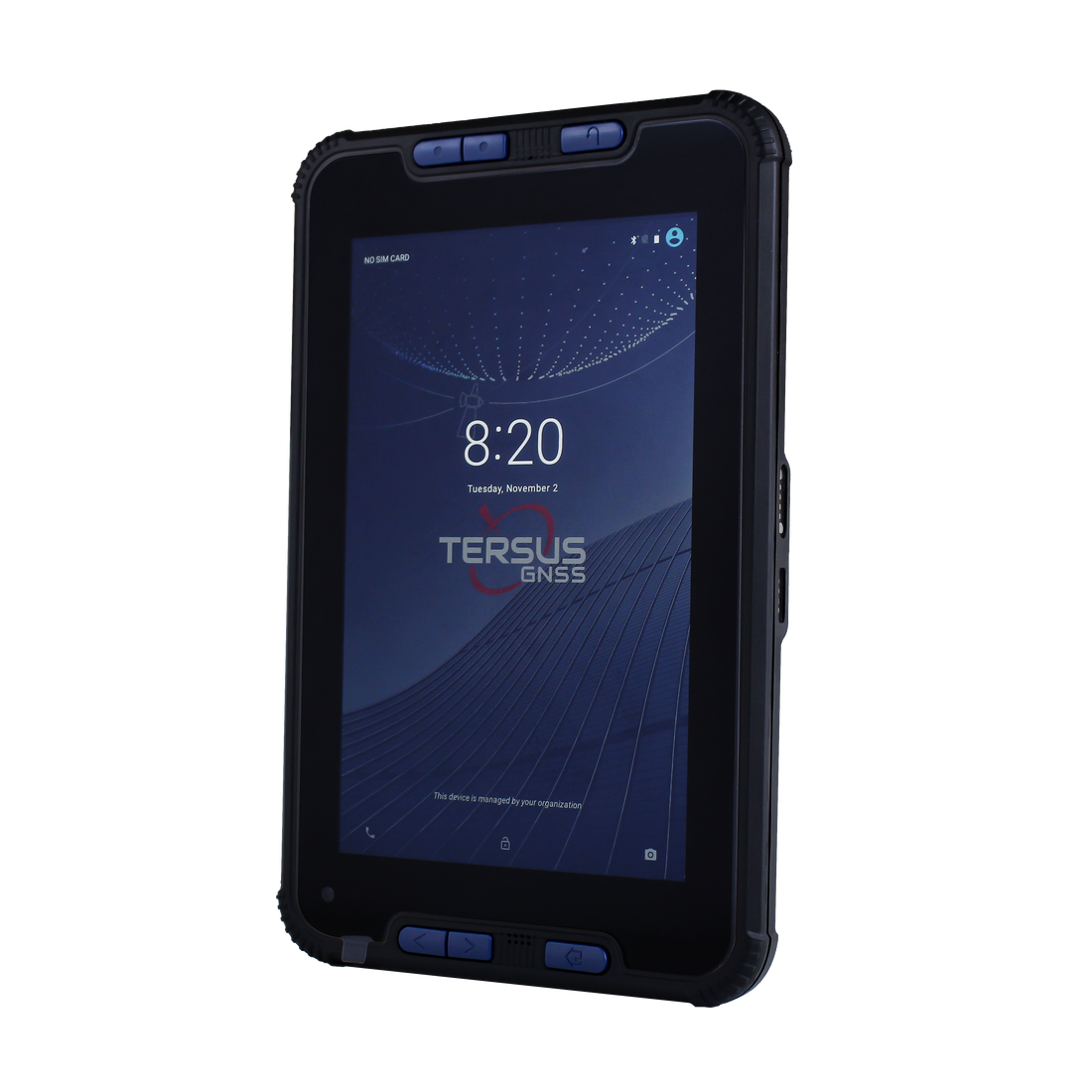
Controller & Tablet -- TC50

Controller & Tablet -- TC50

Обычная цена $1,200.00 USD
Цена продажи $1,200.00 USD Обычная цена
Цена за единицу
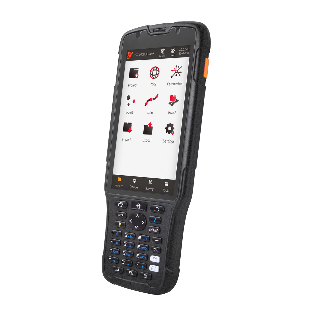
Controller & Tablet -- TC40

Controller & Tablet -- TC40

Обычная цена $2,000.00 USD
Цена продажи $2,000.00 USD Обычная цена
Цена за единицу

RTR Rod-Tip-Roller

Обычная цена $299.00 USD
Цена продажи $299.00 USD Обычная цена
Цена за единицу

30 cm extention Pole

Обычная цена $50.00 USD
Цена продажи $50.00 USD Обычная цена
Цена за единицу